TYPE:
SENSOR
LAYER:
DS_PHR1B_201910081043589_FR1_PX_E006N45_1120_01239
FORMAT:
DIMAP
RASTER:
image/jp2
General Information
Map Name
Geometric Processing Level
Radiometric Processing Level
BASIC
Image dimensions
Number of columns
9725
Number of rows
6745
Number of spectral bands
4
Dataset framing
Vertice
Longitude (DEG)
Latitude (DEG)
Row
Col
#1
6.733498236037091
45.87266393450408
1
#2
6.992464911277096
45.86951543817562
#3
6.994899759860533
45.73925449005607
#4
6.731813896449251
45.74734650434085
Dataset sources
PHR
Coordinate Reference System
Projected Coordinate System
Geocoding tables identification
EPSG(6.3)
Production
Production Date
2019-10-10T09:32:50.283
Job identification
4553773101-003
Dataset Producer Identification
AIRBUS DS GEO
Producer link
http://www.geo-airbusds.com
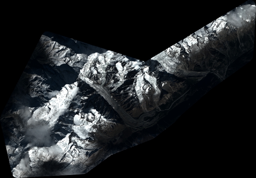
Quicklook
Copyright