TYPE:
SENSOR
LAYER:
SEN_SPOT7_20190927_100319400_000
FORMAT:
DIMAP
RASTER:
image/jp2
General Information
Map Name
Geometric Processing Level
Radiometric Processing Level
BASIC
Image dimensions
Number of columns
38609
Number of rows
42177
Number of spectral bands
1
Dataset framing
Vertice
Longitude (DEG)
Latitude (DEG)
Row
Col
#1
6.28259826334
45.5699759267
#2
7.07460112268
45.5586177653
#3
7.06891600553
44.9391223535
#4
6.28926944517
44.9470471917
Dataset sources
SPOT
Coordinate Reference System
Projected Coordinate System
Geocoding tables identification
ITU(0.0)
Production
Production Date
2019-10-14T11:16:15.00Z
Job identification
SPOT7_20191014_104917z8h9iawzpyo9_1
Dataset Producer Identification
"SRD GEOSUD / IRD, Irstea, IGN"
Producer link
http://geosud.teledetection.fr/
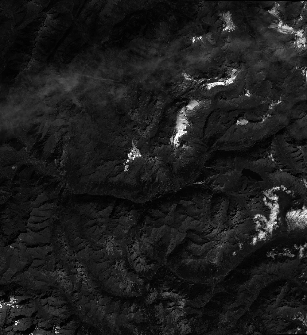
Quicklook
Copyright