TYPE:
SENSOR
LAYER:
SEN_SPOT7_20190927_100244100_000
FORMAT:
DIMAP
RASTER:
image/jp2
General Information
Map Name
Geometric Processing Level
Radiometric Processing Level
BASIC
Image dimensions
Number of columns
9652
Number of rows
10815
Number of spectral bands
4
Dataset framing
Vertice
Longitude (DEG)
Latitude (DEG)
Row
Col
#1
6.27818129924
45.55780654
1
#2
7.07607132457
45.5698936257
#3
7.0695008275
44.9450719441
#4
6.2856679399
44.93448093
Dataset sources
SPOT
Coordinate Reference System
Projected Coordinate System
Geocoding tables identification
ITU(0.0)
Production
Production Date
2019-10-14T11:16:31.00Z
Job identification
SPOT7_20191014_104737128fh87ygnpt8_1
Dataset Producer Identification
"SRD GEOSUD / IRD, Irstea, IGN"
Producer link
http://geosud.teledetection.fr/
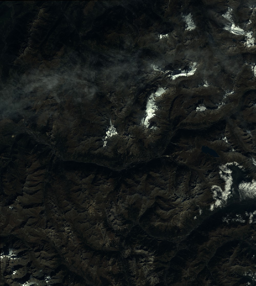
Quicklook
Copyright