TYPE:
SENSOR
LAYER:
DS_PHR1B_201909201121568_FR1_PX_W002N48_0613_01677
FORMAT:
DIMAP
RASTER:
image/jp2
General Information
Map Name
Geometric Processing Level
Radiometric Processing Level
BASIC
Image dimensions
Number of columns
9421
Number of rows
9282
Number of spectral bands
4
Dataset framing
Vertice
Longitude (DEG)
Latitude (DEG)
Row
Col
#1
-1.716469059363993
48.58049412890988
1
#2
-1.43734221799272
48.59106224460133
#3
-1.437726067353591
48.41250573121522
#4
-1.716746833060625
48.40330799874582
Dataset sources
PHR
Coordinate Reference System
Projected Coordinate System
Geocoding tables identification
EPSG(6.3)
Production
Production Date
2019-09-23T13:57:34.646
Job identification
4521775101-002
Dataset Producer Identification
AIRBUS DS GEO
Producer link
http://www.geo-airbusds.com
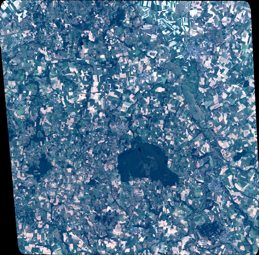
Quicklook
Copyright