TYPE:
SENSOR
LAYER:
DS_PHR1B_201909191040373_FR1_PX_E006N45_1123_02420
FORMAT:
DIMAP
RASTER:
image/jp2
General Information
Map Name
Geometric Processing Level
Radiometric Processing Level
BASIC
Image dimensions
Number of columns
39996
Number of rows
53794
Number of spectral bands
1
Dataset framing
Vertice
Longitude (DEG)
Latitude (DEG)
Row
Col
#1
6.783999773563383
46.05204625936289
#2
7.044344619277668
46.05322614730857
#3
7.042903396633022
45.81090325329955
#4
6.781108661811508
45.80974809408526
Dataset sources
PHR
Coordinate Reference System
Projected Coordinate System
Geocoding tables identification
EPSG(6.3)
Production
Production Date
2019-09-20T09:19:13.058
Job identification
4516947101-001
Dataset Producer Identification
AIRBUS DS GEO
Producer link
http://www.geo-airbusds.com
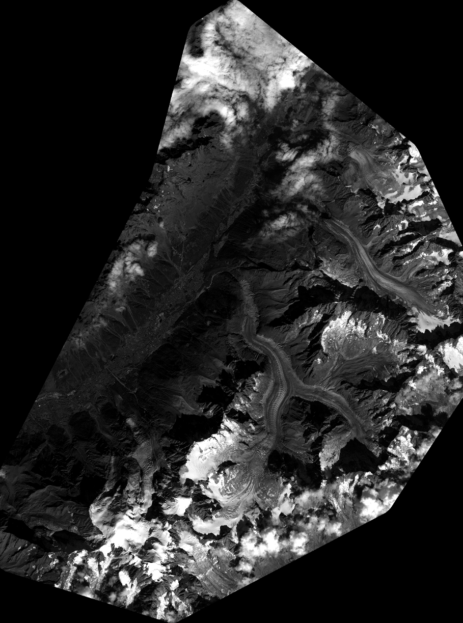
Quicklook
Copyright