TYPE:
SENSOR
LAYER:
SEN_SPOT7_20190914_105132900_000
FORMAT:
DIMAP
RASTER:
image/jp2
General Information
Map Name
Geometric Processing Level
Radiometric Processing Level
BASIC
Image dimensions
Number of columns
9652
Number of rows
9595
Number of spectral bands
4
Dataset framing
Vertice
Longitude (DEG)
Latitude (DEG)
Row
Col
#1
-2.04535389347
48.6213473162
1
#2
-1.16247975766
48.6466643167
#3
-1.16186091498
48.0721909761
#4
-2.04477019598
48.0457403602
Dataset sources
SPOT
Coordinate Reference System
Projected Coordinate System
Geocoding tables identification
ITU(0.0)
Production
Production Date
2019-09-16T08:42:17.00Z
Job identification
SPOT7_20190916_08101217y7p3nres7lz_1
Dataset Producer Identification
"SRD GEOSUD / IRD, Irstea, IGN"
Producer link
http://geosud.teledetection.fr/
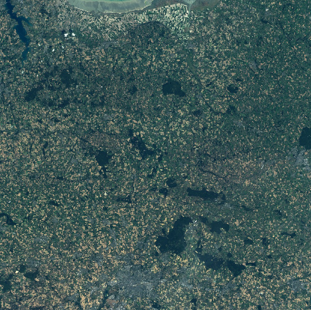
Quicklook
Copyright