TYPE:
SENSOR
LAYER:
SEN_SPOT7_20190913_101035900_000
FORMAT:
DIMAP
RASTER:
image/jp2
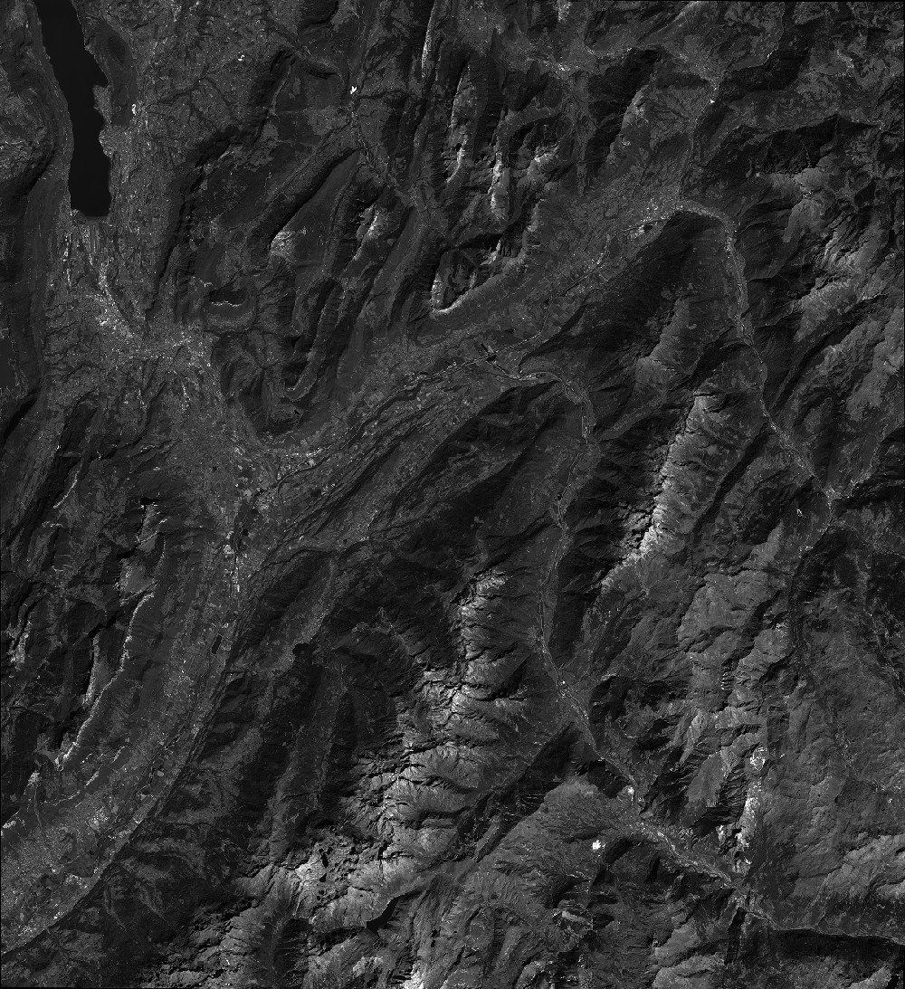
General Information
Map Name
Geometric Processing Level
Radiometric Processing Level
BASIC
Image dimensions
Number of columns
38609
Number of rows
42181
Number of spectral bands
1
Dataset framing
Vertice
Longitude (DEG)
Latitude (DEG)
Row
Col
#1
5.7964919373
45.7860088529
#2
6.59348469716
45.7958033542
#3
6.59087248962
45.1733021698
#4
5.80023333033
45.1606631785
Dataset sources
SPOT
Coordinate Reference System
Projected Coordinate System
Geocoding tables identification
ITU(0.0)
Production
Production Date
2019-09-16T08:28:42.00Z
Job identification
SPOT7_20190916_08022013wogce2xuvke_1
Dataset Producer Identification
"SRD GEOSUD / IRD, Irstea, IGN"
Producer link
http://geosud.teledetection.fr/
Quicklook
Copyright