TYPE:
SENSOR
LAYER:
SEN_SPOT7_20190913_101035900_000
FORMAT:
DIMAP
RASTER:
image/jp2
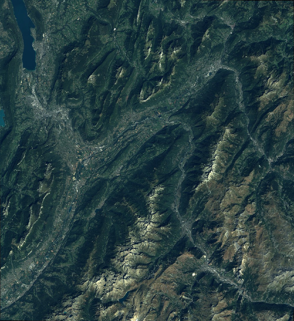
General Information
Map Name
Geometric Processing Level
Radiometric Processing Level
BASIC
Image dimensions
Number of columns
9652
Number of rows
10545
Number of spectral bands
4
Dataset framing
Vertice
Longitude (DEG)
Latitude (DEG)
Row
Col
#1
5.79653312155
45.7859797901
1
#2
6.59344295436
45.7957734111
#3
6.59083119878
45.173331129
#4
5.80027370682
45.1606935805
Dataset sources
SPOT
Coordinate Reference System
Projected Coordinate System
Geocoding tables identification
ITU(0.0)
Production
Production Date
2019-09-16T08:28:42.00Z
Job identification
SPOT7_20190916_08022013wogce2xuvke_1
Dataset Producer Identification
"SRD GEOSUD / IRD, Irstea, IGN"
Producer link
http://geosud.teledetection.fr/
Quicklook
Copyright