TYPE:
SENSOR
LAYER:
SEN_SPOT7_20190913_100959500_000
FORMAT:
DIMAP
RASTER:
image/jp2
General Information
Map Name
Geometric Processing Level
Radiometric Processing Level
BASIC
Image dimensions
Number of columns
38609
Number of rows
43261
Number of spectral bands
1
Dataset framing
Vertice
Longitude (DEG)
Latitude (DEG)
Row
Col
#1
5.80227374204
45.7908673732
#2
6.58406408529
45.7909322872
#3
6.58046945462
45.1689070903
#4
5.80681401516
45.1710964314
Dataset sources
SPOT
Coordinate Reference System
Projected Coordinate System
Geocoding tables identification
ITU(0.0)
Production
Production Date
2019-09-16T08:17:09.00Z
Job identification
SPOT7_20190916_075214zlht5ro2n13x_1
Dataset Producer Identification
"SRD GEOSUD / IRD, Irstea, IGN"
Producer link
http://geosud.teledetection.fr/
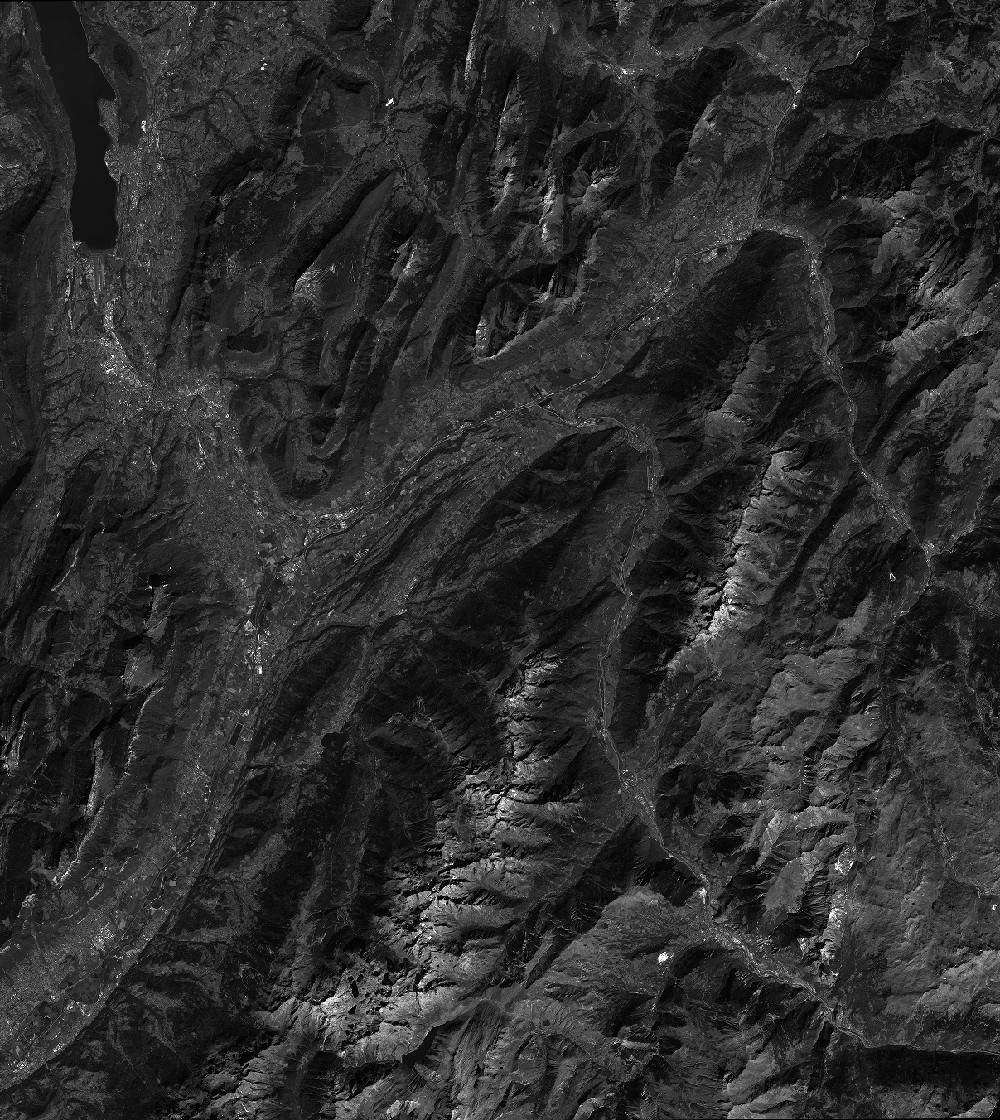
Quicklook
Copyright