TYPE:
SENSOR
LAYER:
DS_PHR1A_201909041055320_FR1_PX_E007N48_0913_01498
FORMAT:
DIMAP
RASTER:
image/jp2
General Information
Map Name
Geometric Processing Level
Radiometric Processing Level
BASIC
Image dimensions
Number of columns
31837
Number of rows
33272
Number of spectral bands
1
Dataset framing
Vertice
Longitude (DEG)
Latitude (DEG)
Row
Col
#1
7.531763777447084
48.6006777889608
#2
7.810983175746557
48.60613817469029
#3
7.811808266509844
48.43724020731172
#4
7.531882757603716
48.43390765158524
Dataset sources
PHR
Coordinate Reference System
Projected Coordinate System
Geocoding tables identification
EPSG(6.3)
Production
Production Date
2019-09-06T10:02:57.795
Job identification
4481625101-003
Dataset Producer Identification
AIRBUS DS GEO
Producer link
http://www.geo-airbusds.com
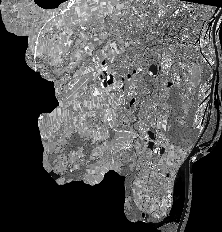
Quicklook
Copyright