TYPE:
SENSOR
LAYER:
DS_PHR1A_201909041055098_FR1_PX_E007N48_0913_01563
FORMAT:
DIMAP
RASTER:
image/jp2
General Information
Map Name
Geometric Processing Level
Radiometric Processing Level
BASIC
Image dimensions
Number of columns
33458
Number of rows
34736
Number of spectral bands
1
Dataset framing
Vertice
Longitude (DEG)
Latitude (DEG)
Row
Col
#1
7.531679241299539
48.61243319445797
#2
7.811067164136195
48.60074536487154
#3
7.811872508803251
48.42553943411334
#4
7.531778600697719
48.43927902160348
Dataset sources
PHR
Coordinate Reference System
Projected Coordinate System
Geocoding tables identification
EPSG(6.3)
Production
Production Date
2019-09-06T10:02:45.097
Job identification
4481625101-002
Dataset Producer Identification
AIRBUS DS GEO
Producer link
http://www.geo-airbusds.com
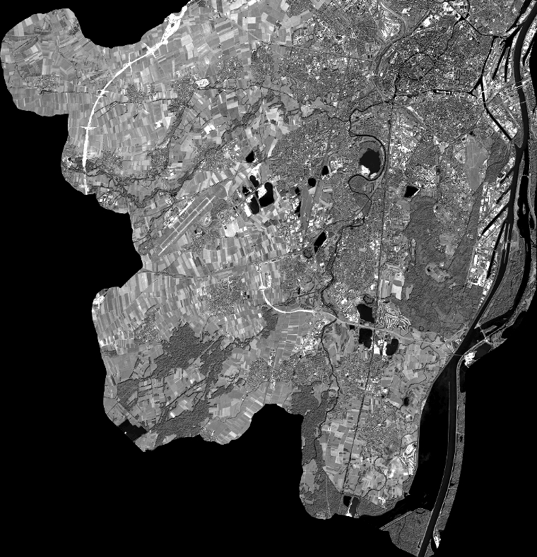
Quicklook
Copyright