TYPE:
SENSOR
LAYER:
DS_PHR1A_201909041054551_FR1_PX_E007N48_0913_01515
FORMAT:
DIMAP
RASTER:
image/jp2
General Information
Map Name
Geometric Processing Level
Radiometric Processing Level
BASIC
Image dimensions
Number of columns
33709
Number of rows
33656
Number of spectral bands
1
Dataset framing
Vertice
Longitude (DEG)
Latitude (DEG)
Row
Col
#1
7.531677855216649
48.62160672184575
#2
7.81109986401192
48.60044343338001
#3
7.81192698781614
48.42344086613117
#4
7.531837907327609
48.44653172604136
Dataset sources
PHR
Coordinate Reference System
Projected Coordinate System
Geocoding tables identification
EPSG(6.3)
Production
Production Date
2019-09-06T10:02:44.997
Job identification
4481625101-001
Dataset Producer Identification
AIRBUS DS GEO
Producer link
http://www.geo-airbusds.com
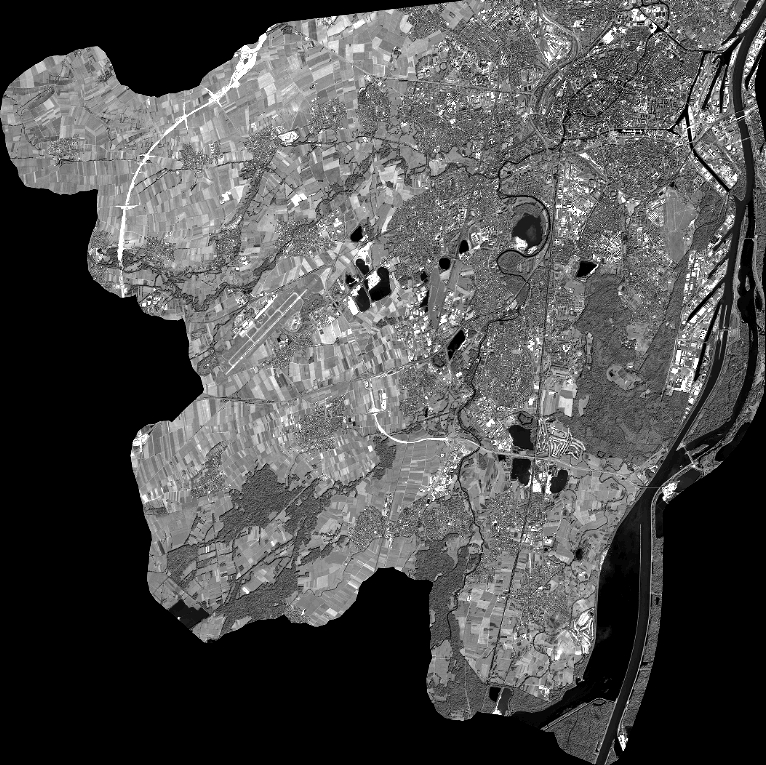
Quicklook
Copyright