TYPE:
SENSOR
LAYER:
DS_PHR1A_201909041055320_FR1_PX_E007N48_0913_01498
FORMAT:
DIMAP
RASTER:
image/jp2
General Information
Map Name
Geometric Processing Level
Radiometric Processing Level
BASIC
Image dimensions
Number of columns
7960
Number of rows
8318
Number of spectral bands
4
Dataset framing
Vertice
Longitude (DEG)
Latitude (DEG)
Row
Col
#1
7.531794990848184
48.60067097008207
1
#2
7.81101388821425
48.60613111177476
#3
7.811838936464913
48.43724811041158
#4
7.531913253194342
48.43391556044567
Dataset sources
PHR
Coordinate Reference System
Projected Coordinate System
Geocoding tables identification
EPSG(6.3)
Production
Production Date
2019-09-06T10:03:02.086
Job identification
4481625101-006
Dataset Producer Identification
AIRBUS DS GEO
Producer link
http://www.geo-airbusds.com
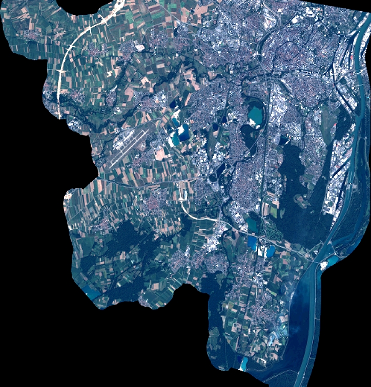
Quicklook
Copyright