TYPE:
SENSOR
LAYER:
DS_PHR1A_201909041055098_FR1_PX_E007N48_0913_01563
FORMAT:
DIMAP
RASTER:
image/jp2
General Information
Map Name
Geometric Processing Level
Radiometric Processing Level
BASIC
Image dimensions
Number of columns
8366
Number of rows
8684
Number of spectral bands
4
Dataset framing
Vertice
Longitude (DEG)
Latitude (DEG)
Row
Col
#1
7.531675129824246
48.61242588713991
1
#2
7.811089994384176
48.60073649907056
#3
7.811893692184717
48.42554593479191
#4
7.531774372685164
48.43928672528212
Dataset sources
PHR
Coordinate Reference System
Projected Coordinate System
Geocoding tables identification
EPSG(6.3)
Production
Production Date
2019-09-06T10:03:00.224
Job identification
4481625101-005
Dataset Producer Identification
AIRBUS DS GEO
Producer link
http://www.geo-airbusds.com
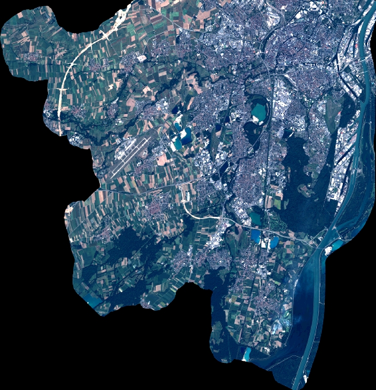
Quicklook
Copyright