TYPE:
SENSOR
LAYER:
DS_PHR1A_201909041054551_FR1_PX_E007N48_0913_01515
FORMAT:
DIMAP
RASTER:
image/jp2
General Information
Map Name
Geometric Processing Level
Radiometric Processing Level
BASIC
Image dimensions
Number of columns
8428
Number of rows
8414
Number of spectral bands
4
Dataset framing
Vertice
Longitude (DEG)
Latitude (DEG)
Row
Col
#1
7.531690141111909
48.6215980307372
1
#2
7.81111325227343
48.60043421524175
#3
7.811939536500419
48.42344771637851
#4
7.531850214795068
48.44653853702915
Dataset sources
PHR
Coordinate Reference System
Projected Coordinate System
Geocoding tables identification
EPSG(6.3)
Production
Production Date
2019-09-06T10:02:57.805
Job identification
4481625101-004
Dataset Producer Identification
AIRBUS DS GEO
Producer link
http://www.geo-airbusds.com
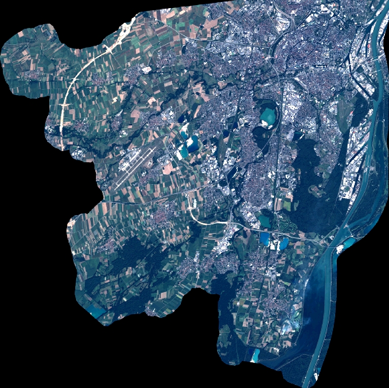
Quicklook
Copyright