TYPE:
SENSOR
LAYER:
SEN_SPOT6_20190831_101059400_000
FORMAT:
DIMAP
RASTER:
image/jp2
General Information
Map Name
Geometric Processing Level
Radiometric Processing Level
BASIC
Image dimensions
Number of columns
38609
Number of rows
42269
Number of spectral bands
1
Dataset framing
Vertice
Longitude (DEG)
Latitude (DEG)
Row
Col
#1
7.01867317818
48.6214040616
#2
7.84942982922
48.6269682147
#3
7.84702411643
48.0214968948
#4
7.02235562845
48.0142455252
Dataset sources
SPOT
Coordinate Reference System
Projected Coordinate System
Geocoding tables identification
ITU(0.0)
Production
Production Date
2019-09-05T08:41:02.00Z
Job identification
SPOT6_20190905_0817021q1g9tm3f1aom_1
Dataset Producer Identification
"SRD GEOSUD / IRD, Irstea, IGN"
Producer link
http://geosud.teledetection.fr/
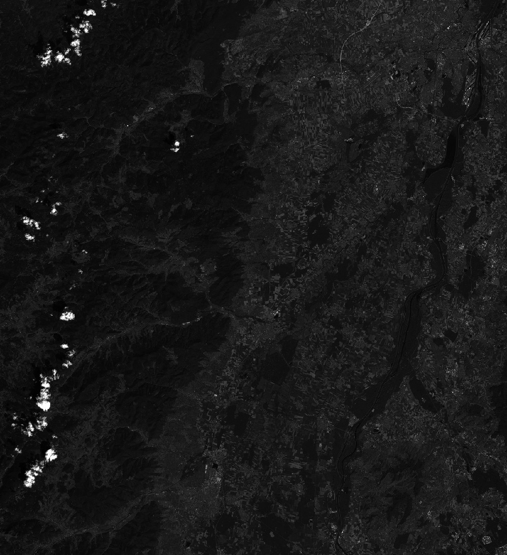
Quicklook
Copyright