TYPE:
SENSOR
LAYER:
SEN_SPOT6_20190831_101059400_000
FORMAT:
DIMAP
RASTER:
image/jp2
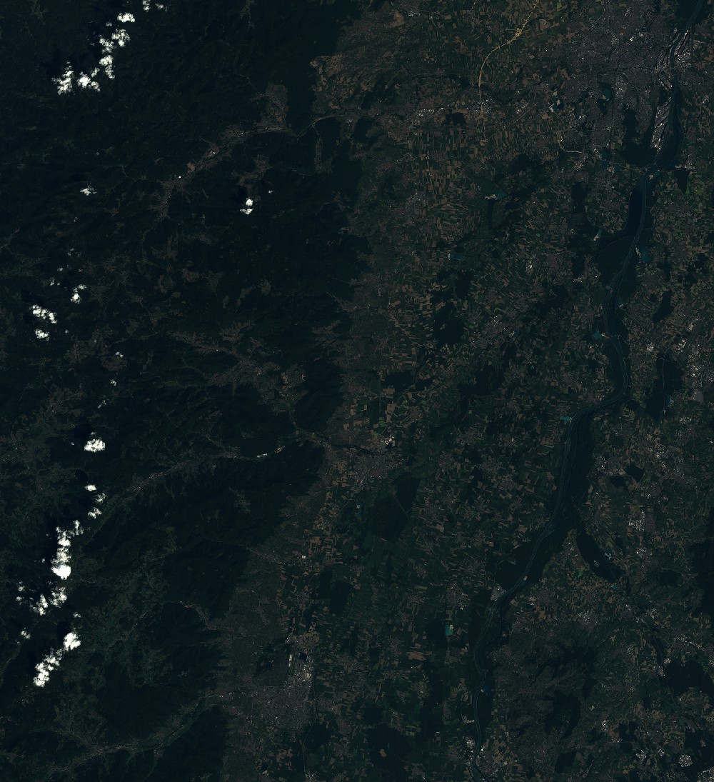
General Information
Map Name
Geometric Processing Level
Radiometric Processing Level
BASIC
Image dimensions
Number of columns
9652
Number of rows
10567
Number of spectral bands
4
Dataset framing
Vertice
Longitude (DEG)
Latitude (DEG)
Row
Col
#1
7.01871609045
48.6213757256
1
#2
7.84938632686
48.6269393818
#3
7.84698102256
48.0215252894
#4
7.02239774401
48.0142747505
Dataset sources
SPOT
Coordinate Reference System
Projected Coordinate System
Geocoding tables identification
ITU(0.0)
Production
Production Date
2019-09-05T08:41:02.00Z
Job identification
SPOT6_20190905_0817021q1g9tm3f1aom_1
Dataset Producer Identification
"SRD GEOSUD / IRD, Irstea, IGN"
Producer link
http://geosud.teledetection.fr/
Quicklook
Copyright