TYPE:
SENSOR
LAYER:
SEN_SPOT6_20190831_101021100_000
FORMAT:
DIMAP
RASTER:
image/jp2
General Information
Map Name
Geometric Processing Level
Radiometric Processing Level
BASIC
Image dimensions
Number of columns
38609
Number of rows
41729
Number of spectral bands
1
Dataset framing
Vertice
Longitude (DEG)
Latitude (DEG)
Row
Col
#1
7.23378581507
49.1285502203
#2
8.07176990637
49.1270189803
#3
8.06800314075
48.5226728846
#4
7.2385380263
48.5269346293
Dataset sources
SPOT
Coordinate Reference System
Projected Coordinate System
Geocoding tables identification
ITU(0.0)
Production
Production Date
2019-09-05T08:46:25.00Z
Job identification
SPOT6_20190905_0822401dst9qjjs7uor_1
Dataset Producer Identification
"SRD GEOSUD / IRD, Irstea, IGN"
Producer link
http://geosud.teledetection.fr/
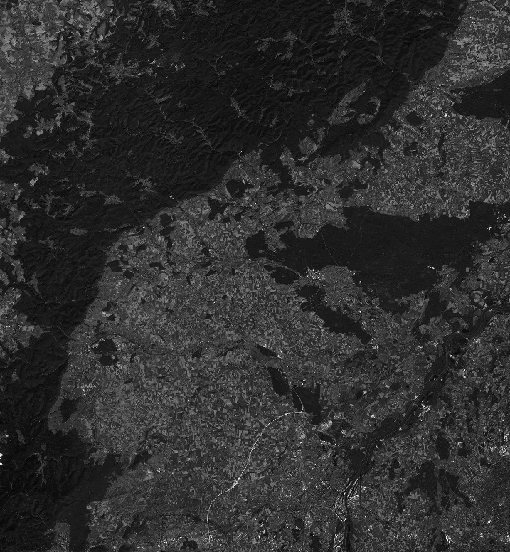
Quicklook
Copyright