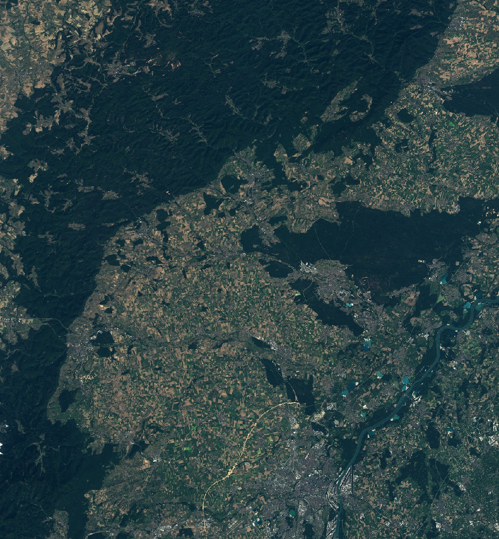
TYPE:
SENSOR
LAYER:
SEN_SPOT6_20190831_101021100_000
FORMAT:
DIMAP
RASTER:
image/jp2
General Information
Map Name
Geometric Processing Level
Radiometric Processing Level
BASIC
Image dimensions
Number of columns
9652
Number of rows
10432
Number of spectral bands
4
Dataset framing
Vertice
Longitude (DEG)
Latitude (DEG)
Row
Col
#1
7.23382944404
49.1285215085
1
#2
8.07172625461
49.1269902958
#3
8.06796019517
48.5227022758
#4
7.23858066246
48.5269634477
Dataset sources
SPOT
Coordinate Reference System
Projected Coordinate System
Geocoding tables identification
ITU(0.0)
Production
Production Date
2019-09-05T08:46:25.00Z
Job identification
SPOT6_20190905_0822401dst9qjjs7uor_1
Dataset Producer Identification
"SRD GEOSUD / IRD, Irstea, IGN"
Producer link
http://geosud.teledetection.fr/
Quicklook
Copyright