TYPE:
SENSOR
LAYER:
SEN_SPOT7_20190825_100635800_000
FORMAT:
DIMAP
RASTER:
image/jp2
General Information
Map Name
Geometric Processing Level
Radiometric Processing Level
BASIC
Image dimensions
Number of columns
38609
Number of rows
30185
Number of spectral bands
1
Dataset framing
Vertice
Longitude (DEG)
Latitude (DEG)
Row
Col
#1
5.74927125558
45.2182510405
#2
6.5314139994
45.2146399357
#3
6.52819035651
44.7722529733
#4
5.75324387733
44.7735879148
Dataset sources
SPOT
Coordinate Reference System
Projected Coordinate System
Geocoding tables identification
ITU(0.0)
Production
Production Date
2019-08-29T11:52:02.00Z
Job identification
SPOT7_20190829_11320714gg6efxy8v25_1
Dataset Producer Identification
"SRD GEOSUD / IRD, Irstea, IGN"
Producer link
http://geosud.teledetection.fr/
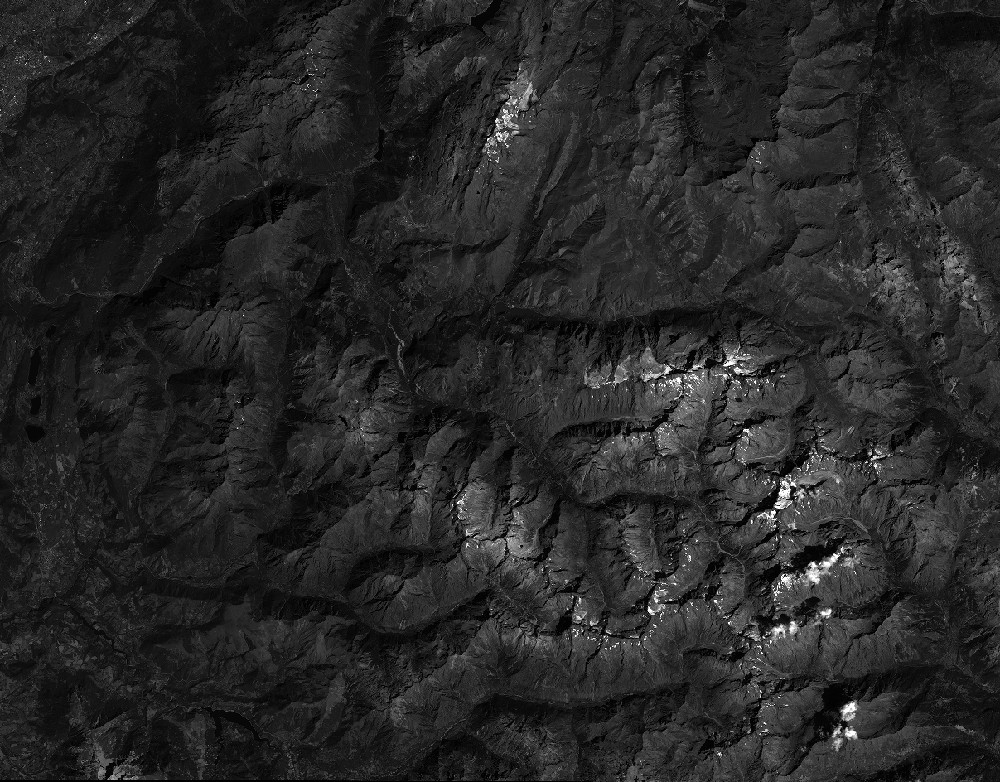
Quicklook
Copyright