TYPE:
SENSOR
LAYER:
SEN_SPOT7_20190825_100602100_000
FORMAT:
DIMAP
RASTER:
image/jp2
General Information
Map Name
Geometric Processing Level
Radiometric Processing Level
BASIC
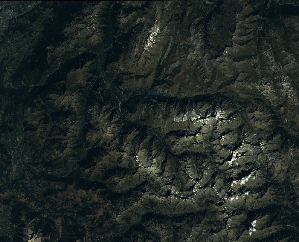
Image dimensions
Number of columns
9652
Number of rows
7816
Number of spectral bands
4
Dataset framing
Vertice
Longitude (DEG)
Latitude (DEG)
Row
Col
#1
5.74929690128
45.212724886
1
#2
6.5284260515
45.2191484362
#3
6.52448854103
44.7716924725
#4
5.75383743029
44.7664004759
Dataset sources
SPOT
Coordinate Reference System
Projected Coordinate System
Geocoding tables identification
ITU(0.0)
Production
Production Date
2019-08-29T11:50:01.00Z
Job identification
SPOT7_20190829_1130071j9a8747cxrn5_1
Dataset Producer Identification
"SRD GEOSUD / IRD, Irstea, IGN"
Producer link
http://geosud.teledetection.fr/
Quicklook
Copyright