TYPE:
SENSOR
LAYER:
DS_PHR1A_201908251033419_FR1_PX_E006N45_1123_02379
FORMAT:
DIMAP
RASTER:
image/jp2
General Information
Map Name
Geometric Processing Level
Radiometric Processing Level
BASIC
Image dimensions
Number of columns
40000
Number of rows
52169
Number of spectral bands
1
Dataset framing
Vertice
Longitude (DEG)
Latitude (DEG)
Row
Col
#1
6.780483552935373
46.05692923726691
#2
7.045889801241553
46.05179844046381
#3
7.045369342156474
45.80963608099665
#4
6.783914003376507
45.81048012704013
Dataset sources
PHR
Coordinate Reference System
Projected Coordinate System
Geocoding tables identification
EPSG(6.3)
Production
Production Date
2019-08-27T15:08:56.411
Job identification
4453266101-002
Dataset Producer Identification
AIRBUS DS GEO
Producer link
http://www.geo-airbusds.com
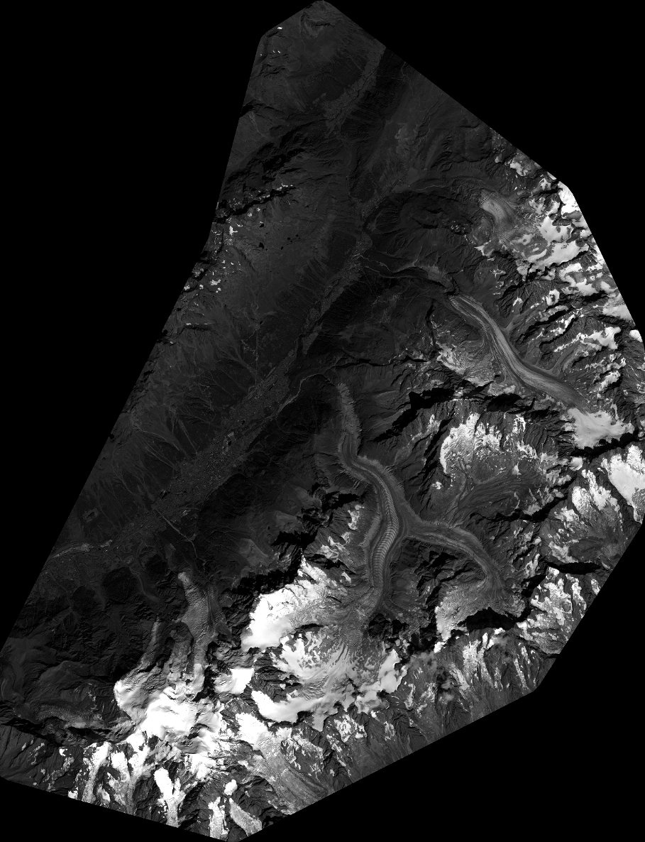
Quicklook
Copyright