TYPE:
SENSOR
LAYER:
DS_PHR1A_201908251033085_FR1_PX_E006N45_1123_02402
FORMAT:
DIMAP
RASTER:
image/jp2
General Information
Map Name
Geometric Processing Level
Radiometric Processing Level
BASIC
Image dimensions
Number of columns
39772
Number of rows
53135
Number of spectral bands
1
Dataset framing
Vertice
Longitude (DEG)
Latitude (DEG)
Row
Col
#1
6.778143268985904
46.04937305056673
#2
7.045394117797134
46.05418351216396
#3
7.045706416716738
45.81240880595922
#4
6.78427801953082
45.80889104881344
Dataset sources
PHR
Coordinate Reference System
Projected Coordinate System
Geocoding tables identification
EPSG(6.3)
Production
Production Date
2019-08-27T15:09:02.687
Job identification
4453266101-001
Dataset Producer Identification
AIRBUS DS GEO
Producer link
http://www.geo-airbusds.com
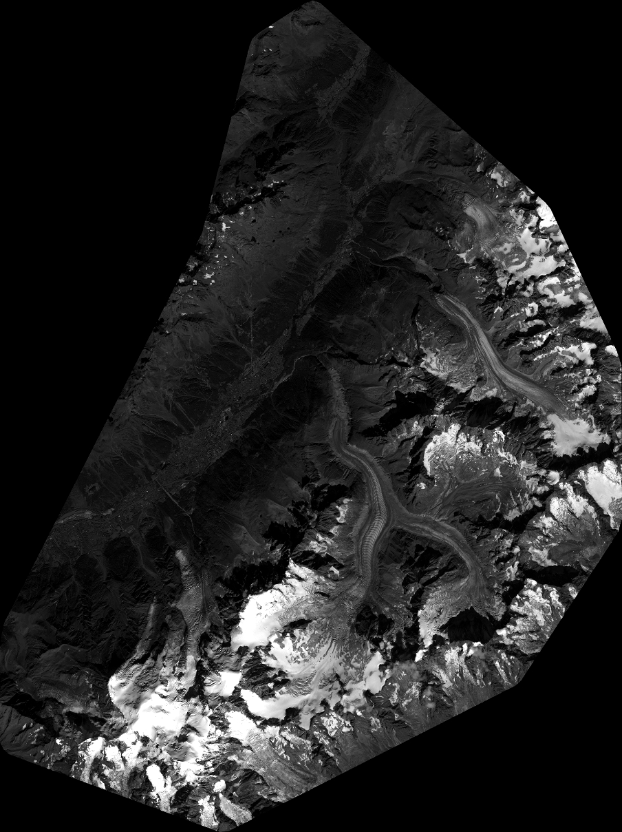
Quicklook
Copyright