TYPE:
SENSOR
LAYER:
SEN_SPOT6_20190808_060019000_000
FORMAT:
DIMAP
RASTER:
image/jp2
General Information
Map Name
Geometric Processing Level
Radiometric Processing Level
BASIC
Image dimensions
Number of columns
9652
Number of rows
5249
Number of spectral bands
4
Dataset framing
Vertice
Longitude (DEG)
Latitude (DEG)
Row
Col
#1
55.1124934856
-21.2708965731
1
#2
55.7297556367
-21.2864802356
#3
55.7288564696
-21.5924794092
#4
55.1133795995
-21.5780052188
Dataset sources
SPOT
Coordinate Reference System
Projected Coordinate System
Geocoding tables identification
ITU(0.0)
Production
Production Date
2019-09-19T09:32:36.00Z
Job identification
SPOT6_20190919_09112012g4awibw3yi5_1
Dataset Producer Identification
"SRD GEOSUD / IRD, Irstea, IGN"
Producer link
http://geosud.teledetection.fr/
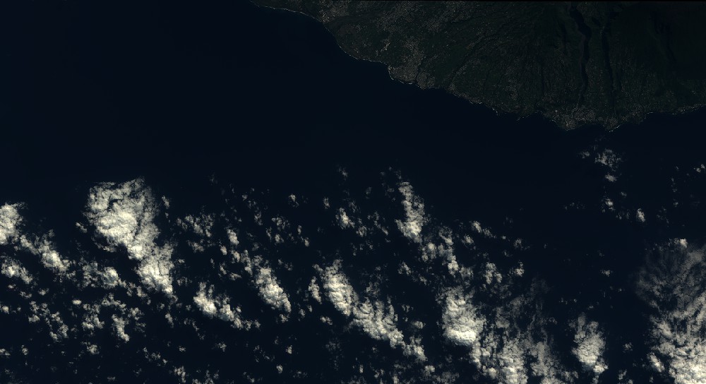
Quicklook
Copyright