TYPE:
SENSOR
LAYER:
SEN_SPOT6_20190808_060003300_000
FORMAT:
DIMAP
RASTER:
image/jp2
General Information
Map Name
Geometric Processing Level
Radiometric Processing Level
BASIC
Image dimensions
Number of columns
9649
Number of rows
9345
Number of spectral bands
4
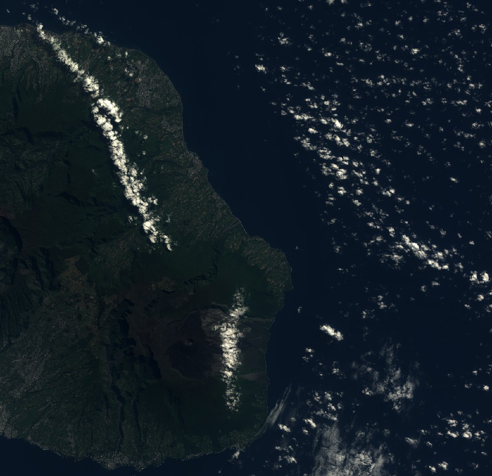
Dataset framing
Vertice
Longitude (DEG)
Latitude (DEG)
Row
Col
#1
55.4738042739
-20.85622175
1
#2
56.0804029887
-20.8595416258
#3
56.0794720971
-21.3961809069
#4
55.4752771842
-21.3934827348
Dataset sources
SPOT
Coordinate Reference System
Projected Coordinate System
Geocoding tables identification
ITU(0.0)
Production
Production Date
2019-09-19T09:31:14.00Z
Job identification
SPOT6_20190919_09093112w3je5x9ibqt_1
Dataset Producer Identification
"SRD GEOSUD / IRD, Irstea, IGN"
Producer link
http://geosud.teledetection.fr/
Quicklook
Copyright