TYPE:
SENSOR
LAYER:
SEN_SPOT7_20190807_060556800_000
FORMAT:
DIMAP
RASTER:
image/jp2
General Information
Map Name
Geometric Processing Level
Radiometric Processing Level
BASIC
Image dimensions
Number of columns
38609
Number of rows
40645
Number of spectral bands
1
Dataset framing
Vertice
Longitude (DEG)
Latitude (DEG)
Row
Col
#1
55.1331322566
-20.7951389124
#2
55.7168265304
-20.7942774297
#3
55.7188098346
-21.3756807225
#4
55.1317589784
-21.3775821885
Dataset sources
SPOT
Coordinate Reference System
Projected Coordinate System
Geocoding tables identification
ITU(0.0)
Production
Production Date
2019-09-19T09:33:43.00Z
Job identification
SPOT7_20190919_0907031m55juo4rbpf5_1
Dataset Producer Identification
"SRD GEOSUD / IRD, Irstea, IGN"
Producer link
http://geosud.teledetection.fr/
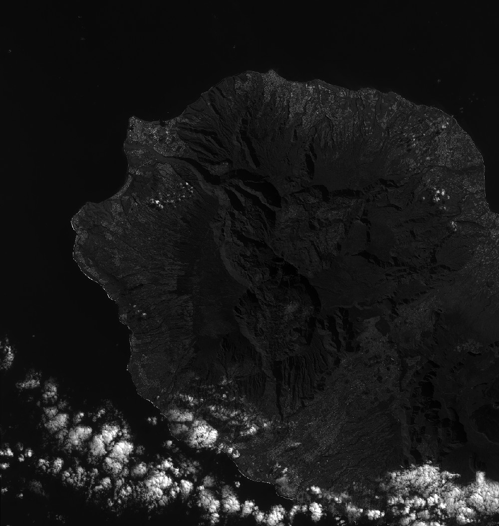
Quicklook
Copyright