TYPE:
SENSOR
LAYER:
SEN_SPOT7_20190807_060556800_000
FORMAT:
DIMAP
RASTER:
image/jp2
General Information
Map Name
Geometric Processing Level
Radiometric Processing Level
BASIC
Image dimensions
Number of columns
9652
Number of rows
10161
Number of spectral bands
4
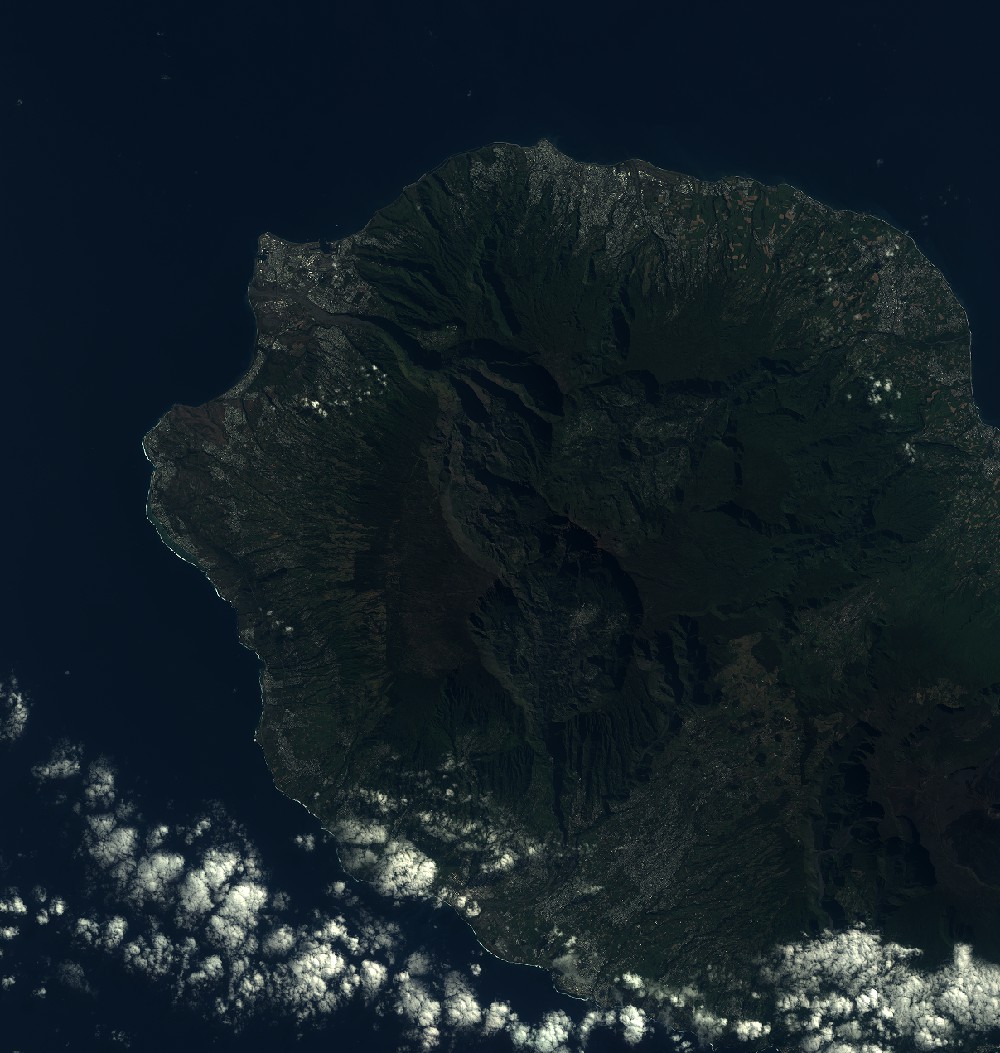
Dataset framing
Vertice
Longitude (DEG)
Latitude (DEG)
Row
Col
#1
55.1331623424
-20.7951675893
1
#2
55.7167962797
-20.7943061478
#3
55.7187791364
-21.3756522863
#4
55.1317892956
-21.3775535017
Dataset sources
SPOT
Coordinate Reference System
Projected Coordinate System
Geocoding tables identification
ITU(0.0)
Production
Production Date
2019-09-19T09:33:43.00Z
Job identification
SPOT7_20190919_0907031m55juo4rbpf5_1
Dataset Producer Identification
"SRD GEOSUD / IRD, Irstea, IGN"
Producer link
http://geosud.teledetection.fr/
Quicklook
Copyright