TYPE:
SENSOR
LAYER:
DS_PHR1A_201908041044195_FR1_PX_E006N45_1123_02403
FORMAT:
DIMAP
RASTER:
image/jp2
General Information
Map Name
Geometric Processing Level
Radiometric Processing Level
BASIC
Image dimensions
Number of columns
39821
Number of rows
53415
Number of spectral bands
1
Dataset framing
Vertice
Longitude (DEG)
Latitude (DEG)
Row
Col
#1
6.783088891331992
46.05310483030047
#2
7.047826246579205
46.05122409531802
#3
7.046766032398973
45.80702674954039
#4
6.778131402945012
45.81179827621335
Dataset sources
PHR
Coordinate Reference System
Projected Coordinate System
Geocoding tables identification
EPSG(6.3)
Production
Production Date
2019-08-09T14:52:48.411
Job identification
4403420101-001
Dataset Producer Identification
AIRBUS DS GEO
Producer link
http://www.geo-airbusds.com
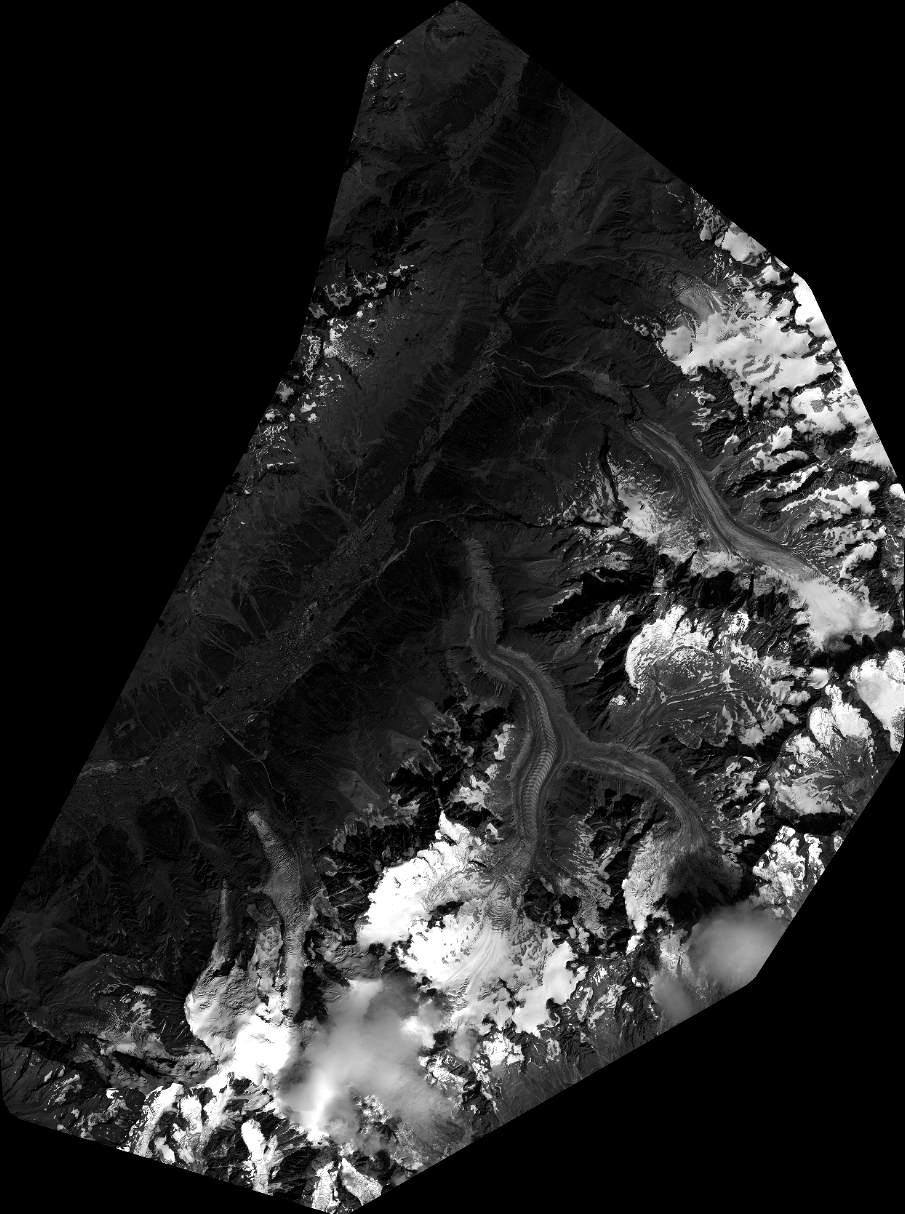
Quicklook
Copyright