TYPE:
SENSOR
LAYER:
DS_PHR1A_201908041044195_FR1_PX_E006N45_1123_02403
FORMAT:
DIMAP
RASTER:
image/jp2
General Information
Map Name
Geometric Processing Level
Radiometric Processing Level
BASIC
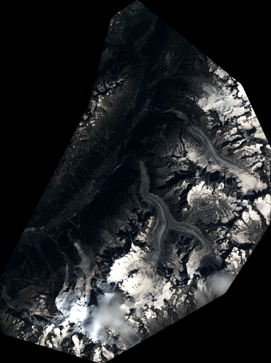
Image dimensions
Number of columns
9956
Number of rows
13355
Number of spectral bands
4
Dataset framing
Vertice
Longitude (DEG)
Latitude (DEG)
Row
Col
#1
6.783097760887813
46.05310288255343
1
#2
7.047836881213727
46.05122152993153
#3
7.04677792962093
45.80701456306524
#4
6.778140138196134
45.81178715763427
Dataset sources
PHR
Coordinate Reference System
Projected Coordinate System
Geocoding tables identification
EPSG(6.3)
Production
Production Date
2019-08-09T14:52:12.078
Job identification
4403420101-002
Dataset Producer Identification
AIRBUS DS GEO
Producer link
http://www.geo-airbusds.com
Quicklook
Copyright