TYPE:
SENSOR
LAYER:
DS_PHR1A_201908011017357_FR1_PX_E007N48_1016_01586
FORMAT:
DIMAP
RASTER:
image/jp2
General Information
Map Name
Geometric Processing Level
Radiometric Processing Level
BASIC
Image dimensions
Number of columns
31247
Number of rows
35242
Number of spectral bands
1
Dataset framing
Vertice
Longitude (DEG)
Latitude (DEG)
Row
Col
#1
7.627530393925037
48.71552220941665
#2
7.902812469345879
48.69313392146707
#3
7.90218732355668
48.50850294471495
#4
7.62888845702831
48.52873442894327
Dataset sources
PHR
Coordinate Reference System
Projected Coordinate System
Geocoding tables identification
EPSG(6.3)
Production
Production Date
2019-08-27T15:05:25.482
Job identification
4453265101-003
Dataset Producer Identification
AIRBUS DS GEO
Producer link
http://www.geo-airbusds.com
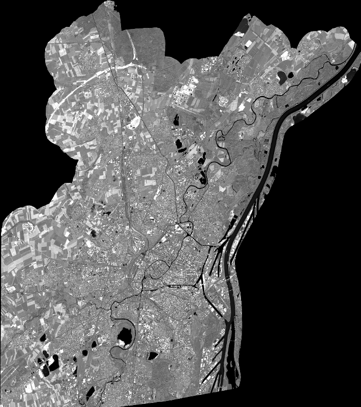
Quicklook
Copyright