TYPE:
SENSOR
LAYER:
DS_PHR1A_201908011017185_FR1_PX_E007N48_1015_01642
FORMAT:
DIMAP
RASTER:
image/jp2
General Information
Map Name
Geometric Processing Level
Radiometric Processing Level
BASIC
Image dimensions
Number of columns
31094
Number of rows
36512
Number of spectral bands
1
Dataset framing
Vertice
Longitude (DEG)
Latitude (DEG)
Row
Col
#1
7.627729233776851
48.71142726457367
#2
7.902905680294188
48.70237453301251
#3
7.902279128012725
48.51827106620173
#4
7.628984037127057
48.52505718791503
Dataset sources
PHR
Coordinate Reference System
Projected Coordinate System
Geocoding tables identification
EPSG(6.3)
Production
Production Date
2019-08-27T15:05:15.222
Job identification
4453265101-002
Dataset Producer Identification
AIRBUS DS GEO
Producer link
http://www.geo-airbusds.com
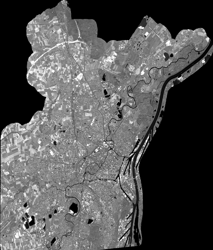
Quicklook
Copyright