TYPE:
SENSOR
LAYER:
DS_PHR1A_201908011016582_FR1_PX_E007N48_1015_01634
FORMAT:
DIMAP
RASTER:
image/jp2
General Information
Map Name
Geometric Processing Level
Radiometric Processing Level
BASIC
Image dimensions
Number of columns
29949
Number of rows
36332
Number of spectral bands
1
Dataset framing
Vertice
Longitude (DEG)
Latitude (DEG)
Row
Col
#1
7.628044161896244
48.70622916334529
#2
7.903127583181868
48.71425183195185
#3
7.902356805412151
48.52762607679201
#4
7.629092646231787
48.51717375395083
Dataset sources
PHR
Coordinate Reference System
Projected Coordinate System
Geocoding tables identification
EPSG(6.3)
Production
Production Date
2019-08-27T15:05:23.707
Job identification
4453265101-001
Dataset Producer Identification
AIRBUS DS GEO
Producer link
http://www.geo-airbusds.com
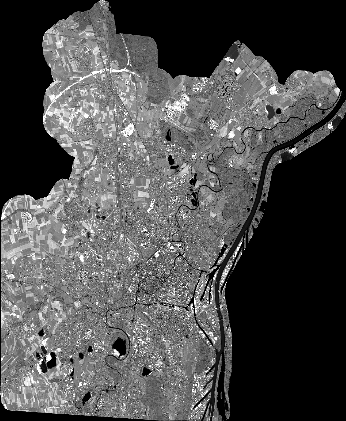
Quicklook
Copyright