TYPE:
SENSOR
LAYER:
DS_PHR1A_201908011017357_FR1_PX_E007N48_1016_01586
FORMAT:
DIMAP
RASTER:
image/jp2
General Information
Map Name
Geometric Processing Level
Radiometric Processing Level
BASIC
Image dimensions
Number of columns
7813
Number of rows
8810
Number of spectral bands
4
Dataset framing
Vertice
Longitude (DEG)
Latitude (DEG)
Row
Col
#1
7.627534683939724
48.71550332871411
1
#2
7.902833975221737
48.69311378288708
#3
7.902209150442564
48.5085090796414
#4
7.628892690599978
48.5287420770909
Dataset sources
PHR
Coordinate Reference System
Projected Coordinate System
Geocoding tables identification
EPSG(6.3)
Production
Production Date
2019-08-27T15:05:27.072
Job identification
4453265101-006
Dataset Producer Identification
AIRBUS DS GEO
Producer link
http://www.geo-airbusds.com
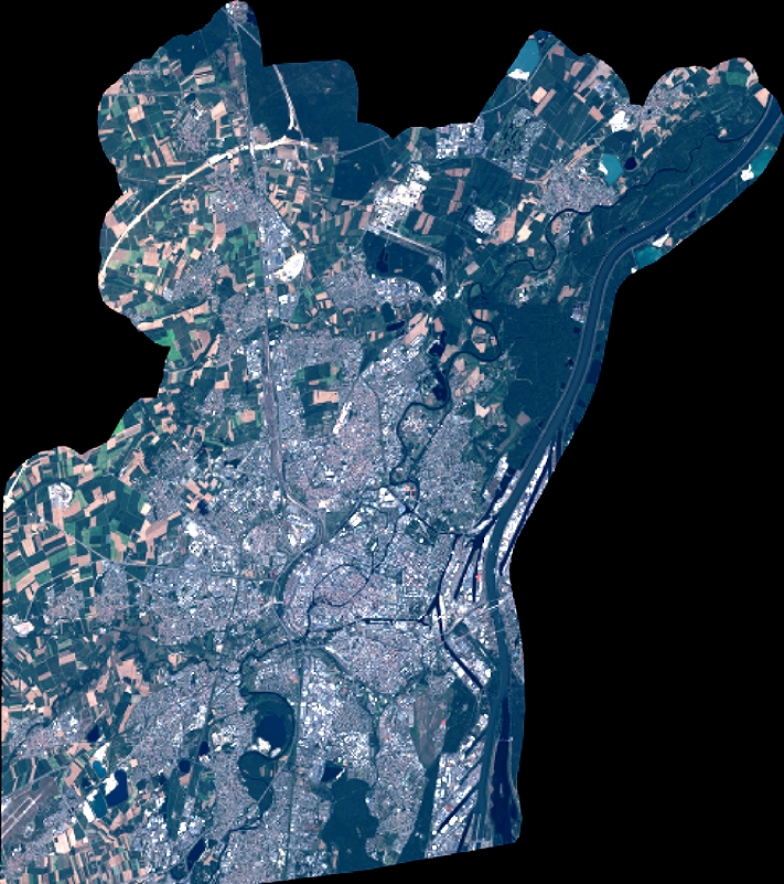
Quicklook
Copyright