TYPE:
SENSOR
LAYER:
DS_PHR1A_201908011017185_FR1_PX_E007N48_1015_01642
FORMAT:
DIMAP
RASTER:
image/jp2
General Information
Map Name
Geometric Processing Level
Radiometric Processing Level
BASIC
Image dimensions
Number of columns
7775
Number of rows
9128
Number of spectral bands
4
Dataset framing
Vertice
Longitude (DEG)
Latitude (DEG)
Row
Col
#1
7.627733684192651
48.71141946302939
1
#2
7.902935775572957
48.70236596990968
#3
7.902309104343067
48.51827788994142
#4
7.62898839823653
48.52506474410904
Dataset sources
PHR
Coordinate Reference System
Projected Coordinate System
Geocoding tables identification
EPSG(6.3)
Production
Production Date
2019-08-27T15:05:20.828
Job identification
4453265101-005
Dataset Producer Identification
AIRBUS DS GEO
Producer link
http://www.geo-airbusds.com
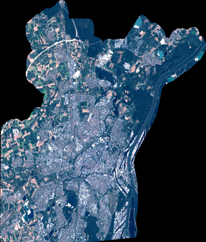
Quicklook
Copyright