TYPE:
SENSOR
LAYER:
DS_PHR1A_201908011016582_FR1_PX_E007N48_1015_01634
FORMAT:
DIMAP
RASTER:
image/jp2
General Information
Map Name
Geometric Processing Level
Radiometric Processing Level
BASIC
Image dimensions
Number of columns
7488
Number of rows
9083
Number of spectral bands
4
Dataset framing
Vertice
Longitude (DEG)
Latitude (DEG)
Row
Col
#1
7.628048394437331
48.70622144431509
1
#2
7.903132115912448
48.71424425893137
#3
7.902361202878144
48.52763392938077
#4
7.629097303192511
48.51718175028103
Dataset sources
PHR
Coordinate Reference System
Projected Coordinate System
Geocoding tables identification
EPSG(6.3)
Production
Production Date
2019-08-27T15:05:39.457
Job identification
4453265101-004
Dataset Producer Identification
AIRBUS DS GEO
Producer link
http://www.geo-airbusds.com
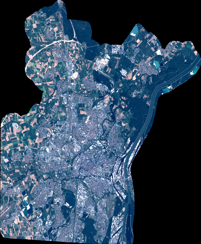
Quicklook
Copyright