TYPE:
SENSOR
LAYER:
SEN_SPOT7_20190718_095830000_000
FORMAT:
DIMAP
RASTER:
image/jp2
General Information
Map Name
Geometric Processing Level
Radiometric Processing Level
BASIC
Image dimensions
Number of columns
38609
Number of rows
32809
Number of spectral bands
1
Dataset framing
Vertice
Longitude (DEG)
Latitude (DEG)
Row
Col
#1
5.72343748749
45.3544568114
#2
6.57671442124
45.302770025
#3
6.5686558384
44.7780783162
#4
5.73247486141
44.8239465675
Dataset sources
SPOT
Coordinate Reference System
Projected Coordinate System
Geocoding tables identification
ITU(0.0)
Production
Production Date
2019-07-18T12:23:32.00Z
Job identification
SPOT7_20190718_12030015vj8oajwutj4_1
Dataset Producer Identification
"SRD GEOSUD / IRD, Irstea, IGN"
Producer link
http://geosud.teledetection.fr/
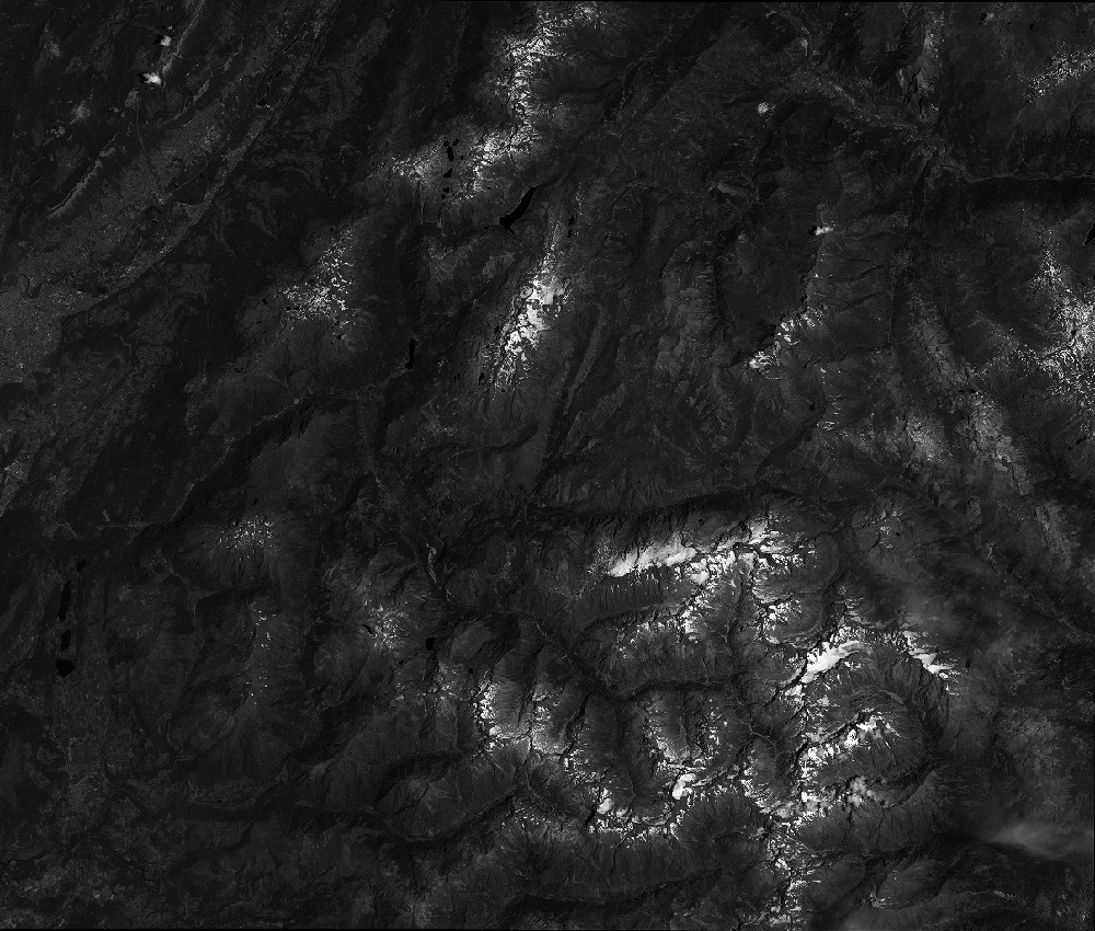
Quicklook
Copyright