TYPE:
SENSOR
LAYER:
SEN_SPOT7_20190718_095830000_000
FORMAT:
DIMAP
RASTER:
image/jp2
General Information
Map Name
Geometric Processing Level
Radiometric Processing Level
BASIC
Image dimensions
Number of columns
9652
Number of rows
8202
Number of spectral bands
4
Dataset framing
Vertice
Longitude (DEG)
Latitude (DEG)
Row
Col
#1
5.72348340209
45.3544217839
1
#2
6.57667080638
45.3027407118
#3
6.56861401095
44.7781126846
#4
5.73251870278
44.823976535
Dataset sources
SPOT
Coordinate Reference System
Projected Coordinate System
Geocoding tables identification
ITU(0.0)
Production
Production Date
2019-07-18T12:23:32.00Z
Job identification
SPOT7_20190718_12030015vj8oajwutj4_1
Dataset Producer Identification
"SRD GEOSUD / IRD, Irstea, IGN"
Producer link
http://geosud.teledetection.fr/
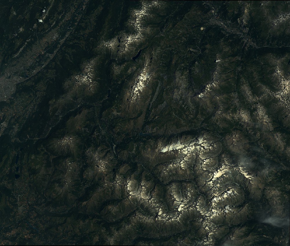
Quicklook
Copyright