TYPE:
SENSOR
LAYER:
DS_PHR1B_201907111117458_FR1_PX_W002N48_0614_01855
FORMAT:
DIMAP
RASTER:
image/jp2
General Information
Map Name
Geometric Processing Level
Radiometric Processing Level
BASIC
Image dimensions
Number of columns
39972
Number of rows
41196
Number of spectral bands
1
Dataset framing
Vertice
Longitude (DEG)
Latitude (DEG)
Row
Col
#1
-1.713732445214627
48.59057442448653
#2
-1.43975244297138
48.58984187173026
#3
-1.440285719356314
48.40452765799817
#4
-1.713664212993186
48.40576269900353
Dataset sources
PHR
Coordinate Reference System
Projected Coordinate System
Geocoding tables identification
EPSG(6.3)
Production
Production Date
2019-08-09T12:12:39.346
Job identification
4402690101-001
Dataset Producer Identification
AIRBUS DS GEO
Producer link
http://www.geo-airbusds.com
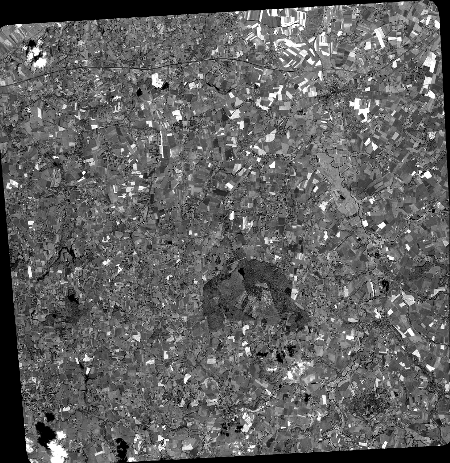
Quicklook
Copyright