TYPE:
SENSOR
LAYER:
DS_PHR1B_201907111117458_FR1_PX_W002N48_0614_01855
FORMAT:
DIMAP
RASTER:
image/jp2
General Information
Map Name
Geometric Processing Level
Radiometric Processing Level
BASIC
Image dimensions
Number of columns
9994
Number of rows
10299
Number of spectral bands
4
Dataset framing
Vertice
Longitude (DEG)
Latitude (DEG)
Row
Col
#1
-1.713722145607544
48.59056765951087
1
#2
-1.439735290225857
48.58983505616555
#3
-1.440268359085149
48.40453423705623
#4
-1.713654010812757
48.40576939785062
Dataset sources
PHR
Coordinate Reference System
Projected Coordinate System
Geocoding tables identification
EPSG(6.3)
Production
Production Date
2019-08-09T12:13:30.569
Job identification
4402690101-002
Dataset Producer Identification
AIRBUS DS GEO
Producer link
http://www.geo-airbusds.com
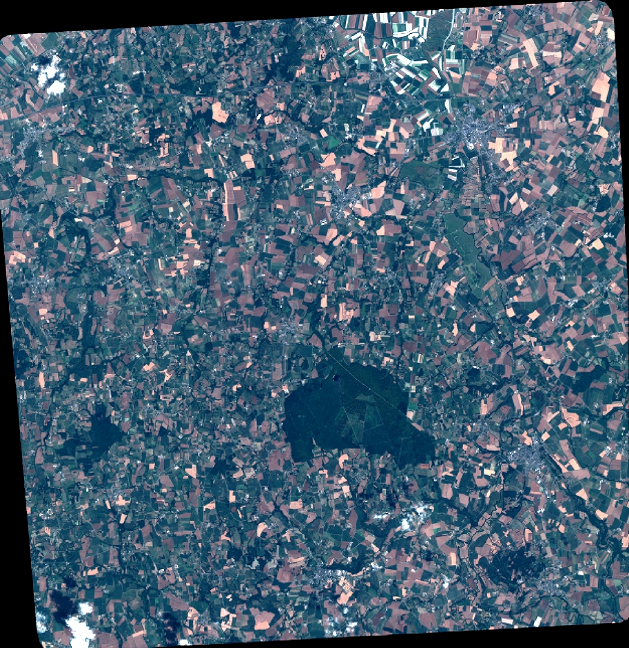
Quicklook
Copyright