TYPE:
SENSOR
LAYER:
SEN_SPOT6_20190711_105205400_000
FORMAT:
DIMAP
RASTER:
image/jp2
General Information
Map Name
Geometric Processing Level
Radiometric Processing Level
BASIC
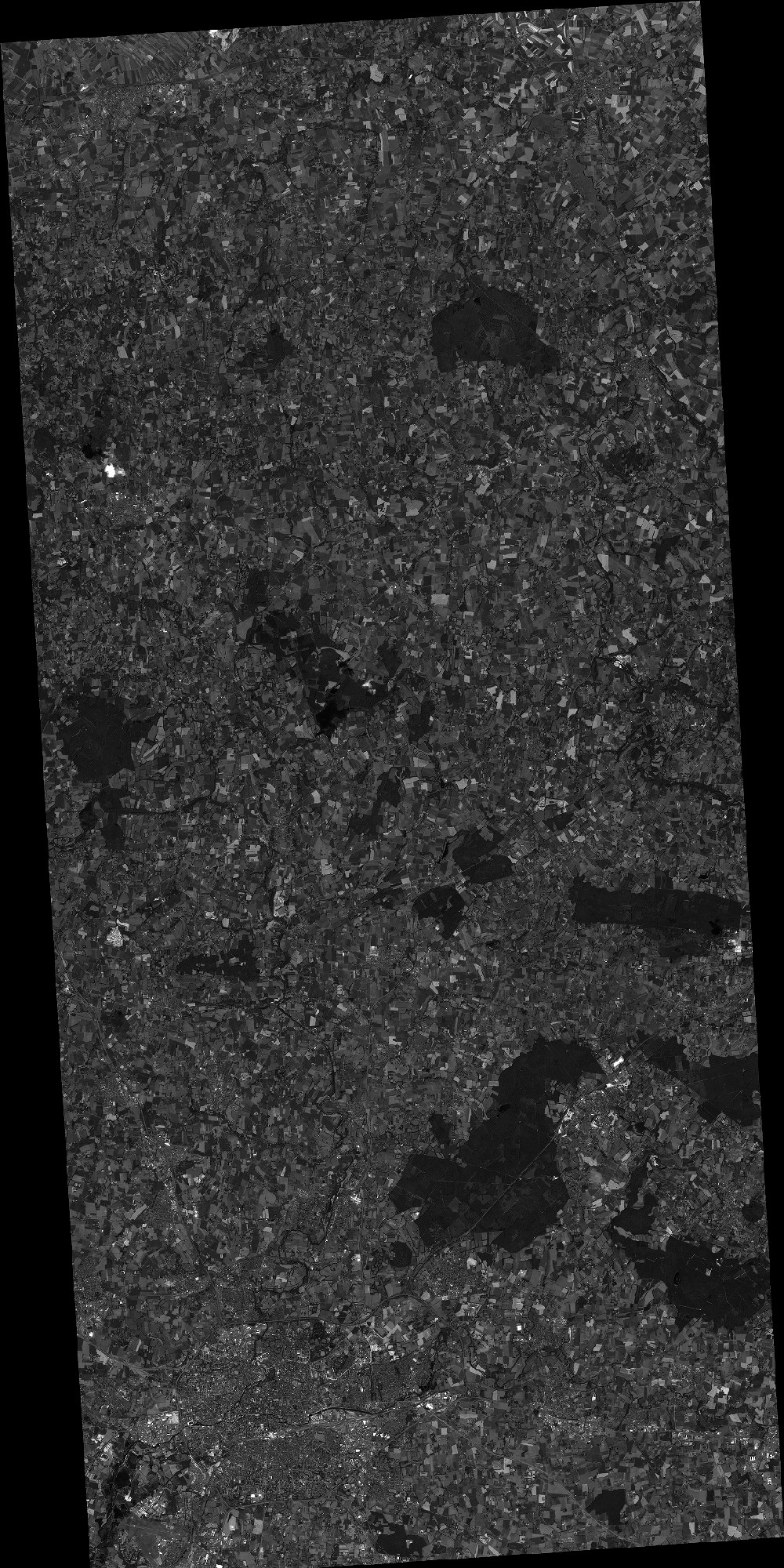
Image dimensions
Number of columns
18161
Number of rows
36329
Number of spectral bands
1
Dataset framing
Vertice
Longitude (DEG)
Latitude (DEG)
Row
Col
#1
-1.80965305263
48.5830916258
#2
-1.40915223762
48.581783183
#3
-1.40908656413
48.0574299797
#4
-1.80957434869
48.0592755854
Dataset sources
SPOT
Coordinate Reference System
Projected Coordinate System
Geocoding tables identification
ITU(0.0)
Production
Production Date
2019-07-23T08:16:51.00Z
Job identification
SPOT6_20190723_0752161xz6v8ri11arl_1
Dataset Producer Identification
"SRD GEOSUD / IRD, Irstea, IGN"
Producer link
http://geosud.teledetection.fr/
Quicklook
Copyright