TYPE:
SENSOR
LAYER:
DS_PHR1B_201907101037011_FR1_PX_E006N45_1123_02401
FORMAT:
DIMAP
RASTER:
image/jp2
General Information
Map Name
Geometric Processing Level
Radiometric Processing Level
BASIC
Image dimensions
Number of columns
40000
Number of rows
52927
Number of spectral bands
1
Dataset framing
Vertice
Longitude (DEG)
Latitude (DEG)
Row
Col
#1
6.782928652721005
46.05392680965173
#2
7.043678501738972
46.05342530165949
#3
7.042734466656271
45.81144034692983
#4
6.782738236057955
45.80955452504686
Dataset sources
PHR
Coordinate Reference System
Projected Coordinate System
Geocoding tables identification
EPSG(6.3)
Production
Production Date
2019-07-15T09:56:11.552
Job identification
4311510101-002
Dataset Producer Identification
AIRBUS DS GEO
Producer link
http://www.geo-airbusds.com
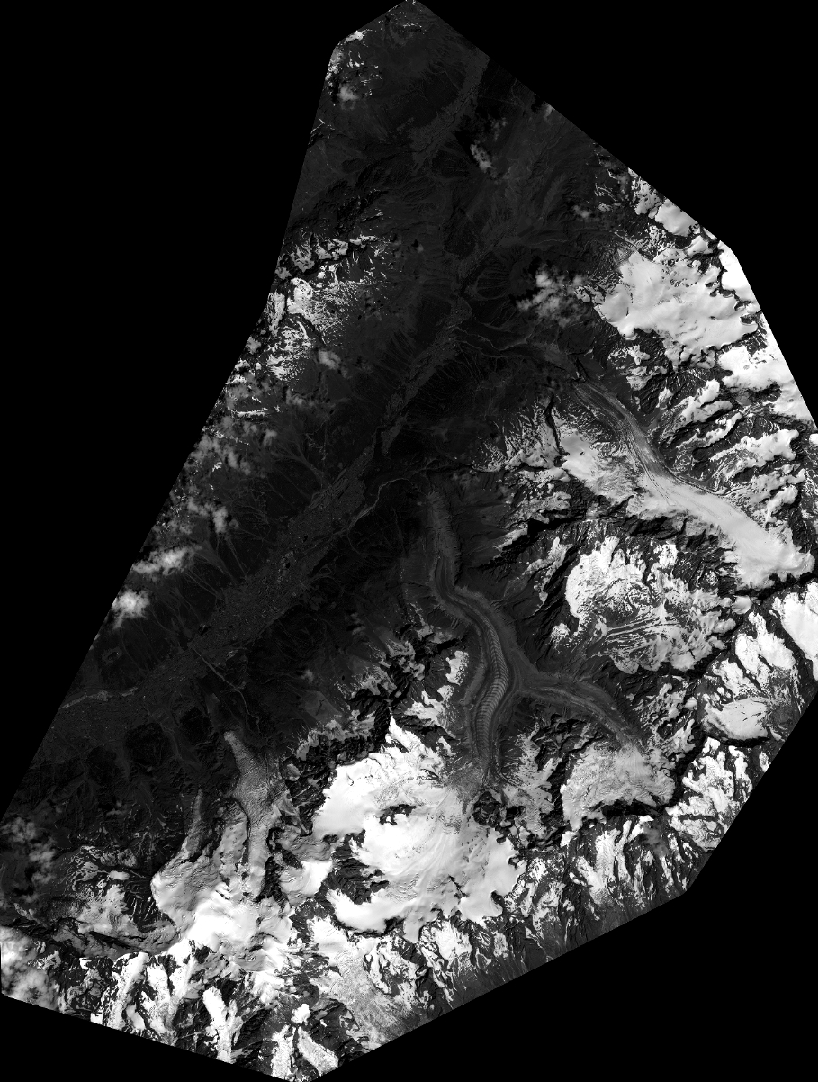
Quicklook
Copyright