TYPE:
SENSOR
LAYER:
DS_PHR1B_201907101036320_FR1_PX_E006N45_1123_02404
FORMAT:
DIMAP
RASTER:
image/jp2
General Information
Map Name
Geometric Processing Level
Radiometric Processing Level
BASIC
Image dimensions
Number of columns
39979
Number of rows
53552
Number of spectral bands
1
Dataset framing
Vertice
Longitude (DEG)
Latitude (DEG)
Row
Col
#1
6.781883587739936
46.05022784520941
#2
7.043484709009346
46.05268957746949
#3
7.042901961556352
45.81065143223412
#4
6.784178541334048
45.81031580796082
Dataset sources
PHR
Coordinate Reference System
Projected Coordinate System
Geocoding tables identification
EPSG(6.3)
Production
Production Date
2019-07-15T09:55:38.388
Job identification
4311510101-001
Dataset Producer Identification
AIRBUS DS GEO
Producer link
http://www.geo-airbusds.com
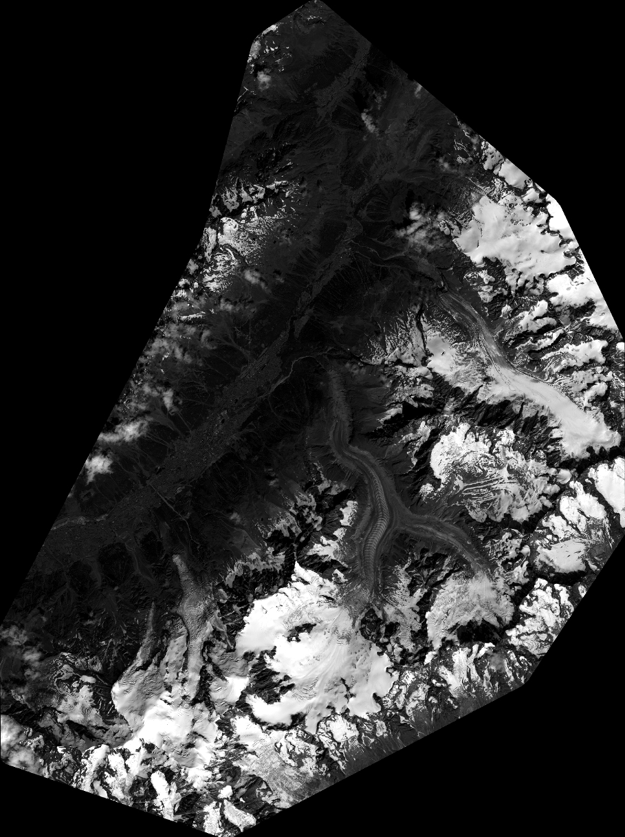
Quicklook
Copyright