TYPE:
SENSOR
LAYER:
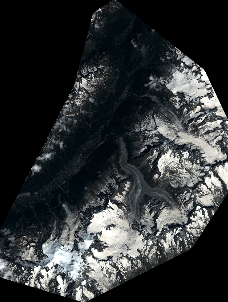
DS_PHR1B_201907101037011_FR1_PX_E006N45_1123_02401
FORMAT:
DIMAP
RASTER:
image/jp2
General Information
Map Name
Geometric Processing Level
Radiometric Processing Level
BASIC
Image dimensions
Number of columns
10000
Number of rows
13232
Number of spectral bands
4
Dataset framing
Vertice
Longitude (DEG)
Latitude (DEG)
Row
Col
#1
6.782938287657186
46.05391884215266
1
#2
7.043668466249975
46.05341790585106
#3
7.042725086969959
45.8114432340619
#4
6.782747728046906
45.80955590854215
Dataset sources
PHR
Coordinate Reference System
Projected Coordinate System
Geocoding tables identification
EPSG(6.3)
Production
Production Date
2019-07-15T09:56:02.243
Job identification
4311510101-004
Dataset Producer Identification
AIRBUS DS GEO
Producer link
http://www.geo-airbusds.com
Quicklook
Copyright