TYPE:
SENSOR
LAYER:
DS_PHR1B_201907101036320_FR1_PX_E006N45_1123_02404
FORMAT:
DIMAP
RASTER:
image/jp2
General Information
Map Name
Geometric Processing Level
Radiometric Processing Level
BASIC
Image dimensions
Number of columns
9996
Number of rows
13388
Number of spectral bands
4
Dataset framing
Vertice
Longitude (DEG)
Latitude (DEG)
Row
Col
#1
6.781893673019881
46.05022153910055
1
#2
7.043507437613881
46.0526827457736
#3
7.042924728055619
45.81065883284107
#4
6.784188478887494
45.81032316769925
Dataset sources
PHR
Coordinate Reference System
Projected Coordinate System
Geocoding tables identification
EPSG(6.3)
Production
Production Date
2019-07-15T09:55:49.633
Job identification
4311510101-003
Dataset Producer Identification
AIRBUS DS GEO
Producer link
http://www.geo-airbusds.com
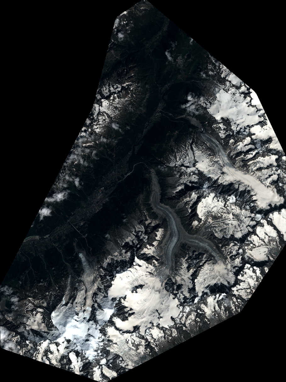
Quicklook
Copyright