TYPE:
SENSOR
LAYER:
DS_PHR1B_201907060629211_FR1_PX_E055S22_1019_01005
FORMAT:
DIMAP
RASTER:
image/jp2
General Information
Map Name
Geometric Processing Level
Radiometric Processing Level
BASIC
Image dimensions
Number of columns
28850
Number of rows
22057
Number of spectral bands
1
Dataset framing
Vertice
Longitude (DEG)
Latitude (DEG)
Row
Col
#1
55.67974162536939
-21.19750303340675
#2
55.82193543909348
-21.19736321596082
#3
55.82181107388664
-21.29832828136121
#4
55.67976121764051
-21.2988981432099
Dataset sources
PHR
Coordinate Reference System
Projected Coordinate System
Geocoding tables identification
EPSG(6.3)
Production
Production Date
2020-02-21T09:12:03.066
Job identification
4820135101-002
Dataset Producer Identification
AIRBUS DS GEO
Producer link
http://www.geo-airbusds.com
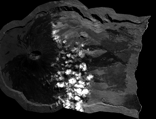
Quicklook
Copyright