TYPE:
SENSOR
LAYER:
DS_PHR1B_201907060629074_FR1_PX_E055S22_1019_01015
FORMAT:
DIMAP
RASTER:
image/jp2
General Information
Map Name
Geometric Processing Level
Radiometric Processing Level
BASIC
Image dimensions
Number of columns
28534
Number of rows
21526
Number of spectral bands
1
Dataset framing
Vertice
Longitude (DEG)
Latitude (DEG)
Row
Col
#1
55.67819388748183
-21.19884852595187
#2
55.82196007996018
-21.19619078477589
#3
55.82179152337481
-21.29787584716921
#4
55.67799728607336
-21.30107976966955
Dataset sources
PHR
Coordinate Reference System
Projected Coordinate System
Geocoding tables identification
EPSG(6.3)
Production
Production Date
2020-02-21T09:12:04.062
Job identification
4820135101-001
Dataset Producer Identification
AIRBUS DS GEO
Producer link
http://www.geo-airbusds.com
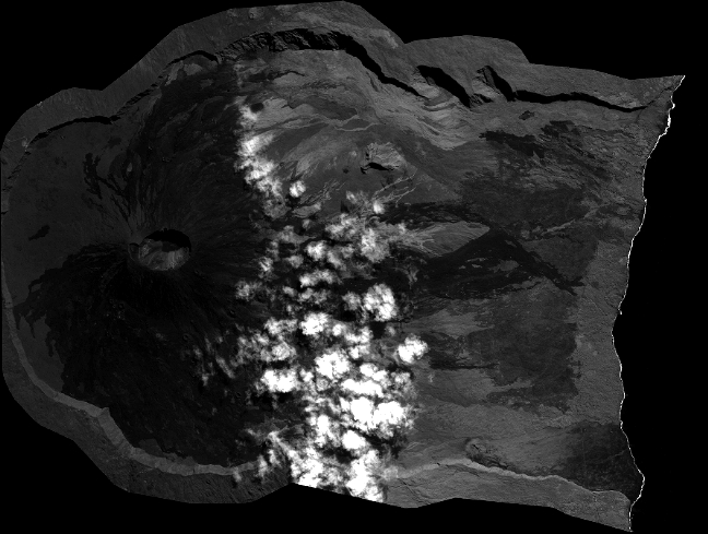
Quicklook
Copyright