TYPE:
SENSOR
LAYER:
DS_PHR1B_201907060629452_FR1_PX_E055S22_1019_00994
FORMAT:
DIMAP
RASTER:
image/jp2
General Information
Map Name
Geometric Processing Level
Radiometric Processing Level
BASIC
Image dimensions
Number of columns
7185
Number of rows
5380
Number of spectral bands
4
Dataset framing
Vertice
Longitude (DEG)
Latitude (DEG)
Row
Col
#1
55.67897518906169
-21.19479321343083
1
#2
55.82189420528241
-21.19621019147331
#3
55.82178668489576
-21.298279670736
#4
55.67904727722058
-21.29739495904947
Dataset sources
PHR
Coordinate Reference System
Projected Coordinate System
Geocoding tables identification
EPSG(6.3)
Production
Production Date
2020-02-21T09:12:25.908
Job identification
4820135101-006
Dataset Producer Identification
AIRBUS DS GEO
Producer link
http://www.geo-airbusds.com
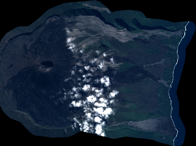
Quicklook
Copyright