TYPE:
SENSOR
LAYER:
DS_PHR1B_201907060629074_FR1_PX_E055S22_1019_01015
FORMAT:
DIMAP
RASTER:
image/jp2
General Information
Map Name
Geometric Processing Level
Radiometric Processing Level
BASIC
Image dimensions
Number of columns
7134
Number of rows
5382
Number of spectral bands
4
Dataset framing
Vertice
Longitude (DEG)
Latitude (DEG)
Row
Col
#1
55.67820173370543
-21.19885532620317
1
#2
55.82196252460786
-21.19619784262948
#3
55.82179414438951
-21.29787809964421
#4
55.67800515058873
-21.30108181779501
Dataset sources
PHR
Coordinate Reference System
Projected Coordinate System
Geocoding tables identification
EPSG(6.3)
Production
Production Date
2020-02-21T09:12:24.643
Job identification
4820135101-004
Dataset Producer Identification
AIRBUS DS GEO
Producer link
http://www.geo-airbusds.com
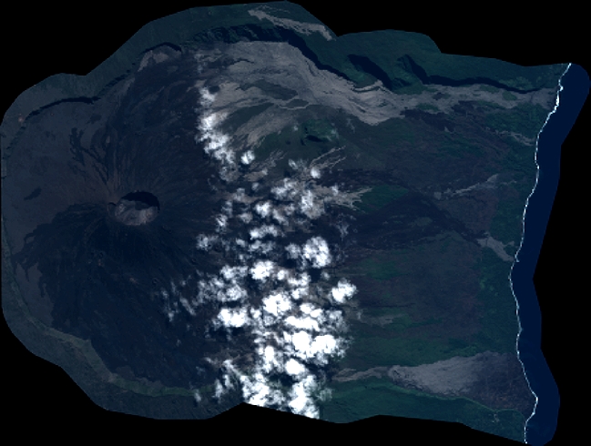
Quicklook
Copyright