TYPE:
SENSOR
LAYER:
SEN_SPOT6_20190706_060343400_000
FORMAT:
DIMAP
RASTER:
image/jp2
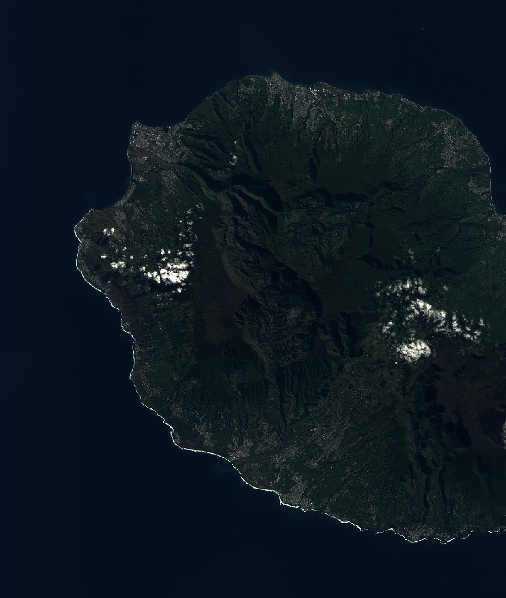
General Information
Map Name
Geometric Processing Level
Radiometric Processing Level
BASIC
Image dimensions
Number of columns
9652
Number of rows
11390
Number of spectral bands
4
Dataset framing
Vertice
Longitude (DEG)
Latitude (DEG)
Row
Col
#1
55.1283437036
-20.7869254775
1
#2
55.7185078717
-20.795075084
#3
55.7189125929
-21.4497059046
#4
55.1285678482
-21.4435718362
Dataset sources
SPOT
Coordinate Reference System
Projected Coordinate System
Geocoding tables identification
ITU(0.0)
Production
Production Date
2019-07-23T09:07:14.00Z
Job identification
SPOT6_20190723_08432410j1vq2601hq4_1
Dataset Producer Identification
"SRD GEOSUD / IRD, Irstea, IGN"
Producer link
http://geosud.teledetection.fr/
Quicklook
Copyright