TYPE:
SENSOR
LAYER:
SEN_SPOT6_20190706_060326500_000
FORMAT:
DIMAP
RASTER:
image/jp2
General Information
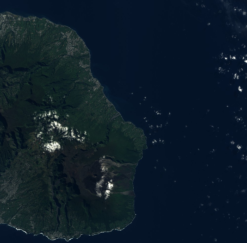
Map Name
Geometric Processing Level
Radiometric Processing Level
BASIC
Image dimensions
Number of columns
9652
Number of rows
9482
Number of spectral bands
4
Dataset framing
Vertice
Longitude (DEG)
Latitude (DEG)
Row
Col
#1
55.4872886238
-20.8563333785
1
#2
56.071722287
-20.8550980925
#3
56.0724791785
-21.3930161812
#4
55.4872179991
-21.3937362994
Dataset sources
SPOT
Coordinate Reference System
Projected Coordinate System
Geocoding tables identification
ITU(0.0)
Production
Production Date
2019-07-23T09:01:57.00Z
Job identification
SPOT6_20190723_0843541sabrgtkmjpu0_1
Dataset Producer Identification
"SRD GEOSUD / IRD, Irstea, IGN"
Producer link
http://geosud.teledetection.fr/
Quicklook
Copyright